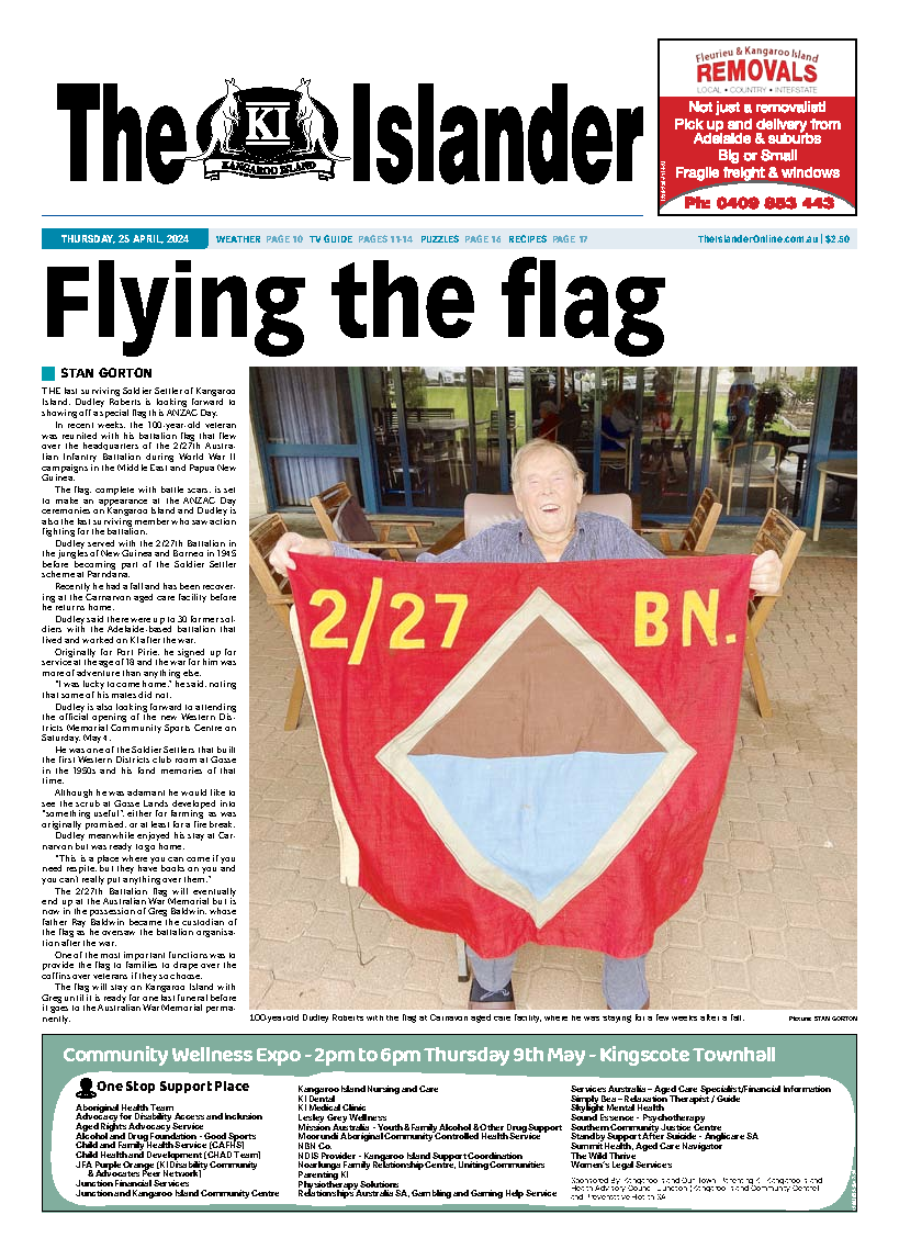
Updating SA’s bushfire hazards mapping and planning rules

Digital Edition
Subscribe
Get an all ACCESS PASS to the News and your Digital Edition with an online subscription

Shower pressure heats up
Older Australians have had some dignity returned as the Federal Government backflipped on charging them to shower and dress at home.
Many of those...